Issue Date: Wednesday, July 5th, 2017
Issue Time: 10AM MDT
Summary:
A strong upper-level ridge continued to build over the Great Basin on Independence Day Tuesday, providing hot and mostly dry weather across Colorado. Enough low-level moisture was present across the eastern part of the state to fuel isolated thunderstorms. Brief heavy rainfall was observed with these storms to the tune of (up to) 0.6 inches in 30 minutes. In addition, hail up to 1 inch and gusty winds up to 60 mph were observed, prompting three severe thunderstorm warnings.
Out west, hot and dry weather continued to create conditions favorable for wildfire growth. As of this morning, there are 5 active wildfires going on west of the Continental Divide. We will continue to closely track the burn areas from these fires, especially with a prolonged stretch of rainfall expected to start soon (see the Flood Threat Outlook).
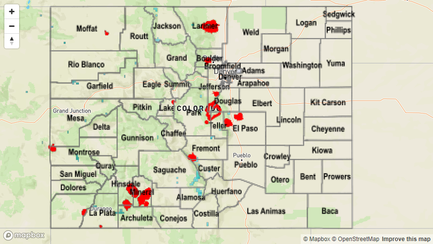
Flooding was not reported on Tuesday. For rainfall estimates in your area, check out the State Precipitation Map below.