Issue Date: Wednesday, July 5th, 2017
Issue Time: 9:50AM MDT
— Flooding is NOT expected today
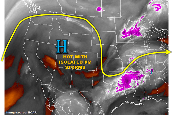
A strong upper-level ridge continue to intensify over the western US today (see water vapor image, below). This means very hot weather will continue across most of Colorado, with temperature of 5-15 F above normal. The good news is that with the ridge position being so far north, some moisture will be able to make it into southern Colorado from the east. Thus, isolated to widely scattered afternoon thunderstorms are expected over the higher terrain of mainly southwest Colorado. The bad news is that very limited rainfall is expected and the storms will actually pose a bigger threat through dry lightning potential than any rainfall. Flooding is not expected today.
Today’s Flood Threat Map
For more information on today’s flood threat, see the map below (hover over threat areas for more details). For Zone-Specific forecasts, scroll below the map.

Zone-Specific Forecasts:
Grand Valley, Northwest Slope, Northern Mountains, Central Mountains, Southwest Slope, San Luis Valley, San Juan Mountains, Front Range:
Sunny early, then partly cloudy and continued very warm today with high temperatures 5 – 10F above normal. Isolated to widely scattered thunderstorms and showers are expected mainly in the highest terrain and also southwest Colorado. Max 30-minute rainfall up to 0.3 inches. Dry lightning will increase the chances of wildfire occurrence. Flooding is not expected today.
Primetime: 1PM to 8PM
Palmer Ridge, Southeast Mountains, Raton Ridge, Urban Corridor, Northeast Plains, Southeast Plains:
Sunny early then partly cloudy and continued hot today with high temperatures 10-15F above normal. An isolated shower or weak storm cannot be ruled out closer to the mountains as well as the southeast part of the state. Max 30-minute rainfall up to 0.3 inches (west) and 0.6 inches (east) Flooding is not expected today.
Primetime: 2PM to 9PM