Issue Date: Tuesday, July 4th, 2017
Issue Time: 10:10 AM MDT
Summary:
Mother Nature provided a few pre-Independence Day fireworks yesterday, with isolated showers/thunderstorms rumbling across the state. Generally speaking, those that occurred over the High Country and adjacent Urban Corridor/Plains, showers/storms produced more wind than rain. Farther east over the Northeast and Southeast Plains, a few strong/severe thunderstorms produced strong winds, hail, and brief periods of moderate-to-heavy rainfall. Rain rates did not meet flash flood criteria, so no flooding occurred. A brief look at storm reports from yesterday shows the following:
Rifle (Garfield County): 45 mph thunderstorm wind gust
Otis (Washington County): 0.88 inch hail
1 mile S of Otis (Washington County): 1.5 inch hail
Flagler (Kit Carson County): 0.9 inches of rain in one hour
6 miles NNE of Bethune (Kit Carson County): 60 mph thunderstorm wind gust
1 mile E of Burlington (Kit Carson County): 69 mph wind gust
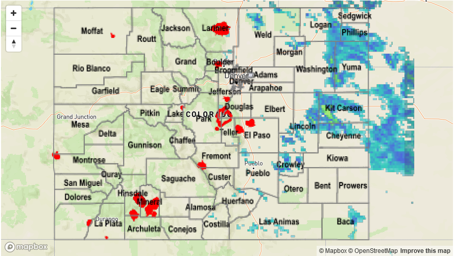
Please see the STP map below for a look at precipitation totals from the last 24 hours.