Issue Date: Sunday, June 18th, 2017
Issue Time: 10:10AM MDT
— Flooding is NOT expected today
Yesterday’s cool front that moved southward across eastern Colorado is currently draped south of the Palmer Ridge on this Father’s Day Sunday. It will continue to move slowly south today, though these summer cool fronts certainly face improbable odds compared to their winter counterparts. With mid-June heating on either side of the front, it will “wash away” today. However, it will leave some enhanced convergence to support isolated to scattered shower and storm activity mainly on the southern periphery of Sangre de Cristo mountains. But with limited instability and relatively fast steering winds of 30-40 mph, only light precipitation amounts are forecasted. Thus, no flood threat today.
Check out the map below for the chance of measurable rainfall today (i.e. 0.01 inch or greater).
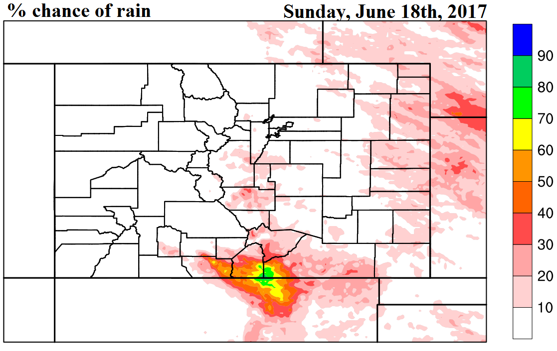
Today’s Flood Threat Map
For more information on today’s flood threat, see the map below (hover over threat areas for more details). For Zone-Specific forecasts, scroll below the map.

Zone-Specific Forecasts:
Raton Ridge, Southeast Mountains, Southeast Plains, San Luis Valley:
Partly cloudy with isolated to scattered showers and a weak thunderstorm possible during the afternoon and evening. Max 1-hour rainfall up to 0.4 inches. Flooding is not expected today. Dry lightning may be an issue (for starting fires).
Primetime: 1PM to 8PM
Northeast Plains, Urban Corridor, Front Range, Palmer Ridge:
Mostly sunny with an isolated shower or weak storm not out of the question towards the Kansas border during the late afternoon. Max 1-hour rainfall up to 0.15 inches. Flooding is not expected today.
Grand Valley, Northwest Slope, Northern Mountains, Central Mountains, Southwest Slope, San Juan Mountains:
Mostly sunny and very warm today with high temperatures approaching 100F in the lower elevations (especially Colorado River valley).