Issue Date: Saturday, June 17th, 2017
Issue Time: 9:25AM MDT
— Flooding is NOT expected today
The persistent weather pattern of the past 72-96 hours continues on this Saturday, though with some minor changes. A very strong jet stream remains anchored just north of Colorado, separating active weather to the north of it with the quieter conditions to its south. A new feature this morning is a Pacific-origin cool front that will be quickly making its way southward across eastern Colorado later this morning and into the afternoon hours. The front will provide a focal point, albeit a weak one, for shower and storm activity. This will also be aided by adequate amounts of moisture with Precipitable Water values approaching 1 inch in eastern Colorado. The moisture is top-heavy though, with low-level moisture not particularly conducive for heavy rainfall. Another factor putting a lid on high rainfall intensity will be very strong steering winds to the tune of 40-50 mph.
Altogether, we expect a round of showers and storms late this morning mainly across northeast and east-central Colorado, but also extending west of the Continental Divide into the North Platte basin. Storms will be racing, limiting their rainfall to well below flood threat intensity. Thus, no flood threat today. However, dry lightning will be a concern as a fire threat today after a string of dry days.
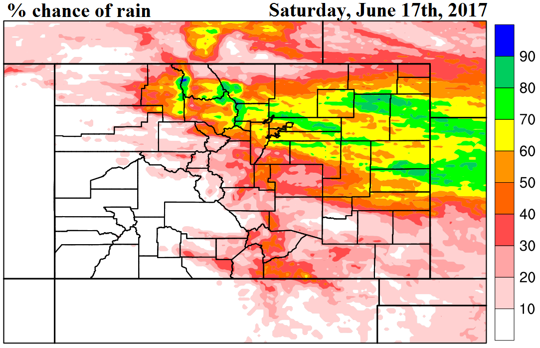
Check out the precipitation map below to find out the chances of rainfall for your area.
Today’s Flood Threat Map
For more information on today’s flood threat, see the map below (hover over threat areas for more details). For Zone-Specific forecasts, scroll below the map.

Zone-Specific Forecasts:
Northeast Plains, Urban Corridor, Front Range, Palmer Ridge, Raton Ridge, Southeast Mountains, Southeast Plains:
Partly cloudy and cooler with scattered showers and storms from late morning through early evening. Max 1-hour rainfall up to 0.6 inches. Flooding is not expected today.
Primetime: 11AM to 7PM
Grand Valley, Northwest Slope, Northern Mountains, Central Mountains, Southwest Slope, San Juan Mountains, San Luis Valley:
Partly sunny and slightly with isolated to scattered showers and a weak storm possible. Dry lightning could present fire concerns this afternoon. Max 1-hour rainfall up to 0.4 inches. Flooding is not expected today.
Primetime: 11AM to 6PM