Issue Date: Wednesday, May 20th, 2015
Issue Time: 9:00 AM MDT
Summary:
FLOOD WARNINGS CONTINUE FOR PORTIONS OF THE CACHE LA POUDRE, SOUTH PLATTE, BIG THOMPSON, AND ARKANSAS RIVERS.
Yesterday morning saw widespread rain and snow across much of Colorado before the large precipitation shield “exited” the state to the north. Behind that, though, another bout with showers and thunderstorms loomed for the afternoon and overnight hours. Snow fell above 10,000 feet during the day, lowering to about 9,000 feet overnight, with elevations lower than that receiving rain. The greatest rainfall totals occurred across the eastern half of Colorado, namely the Front Range, Urban Corridor, Palmer Ridge, Raton Ridge, Southeast Plains, and Northeast Plains. Some of the big winners, according to CoCoRaHS observers were:
Baca County: 1.63 inches
Larimer County: 1.57 inches
Elbert County: 1.11 inches
Phillips County: 1.11 inches
Yuma County: 1.10 inches
Morgan County: 1.03 inches
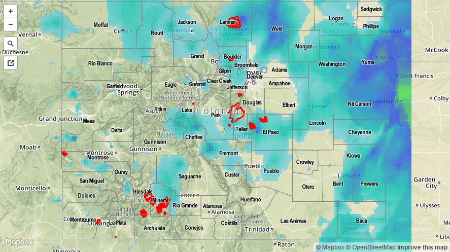
For a complete statewide overview of precipitation, be sure and check out the STP map below.