Issue Date: Monday, June 12th, 2017
Issue Time: 10:55AM MDT
Summary:
Stubborn moisture continued to hang on in eastern Colorado with dew point temperatures of 50-60F being common. Despite the high moisture in the lower levels, upper-level moisture was lacking due to strong dry air transport from the west. With plenty of sunshine, instability was in abundant supply by early afternoon but only a handful of storms managed to form in two main areas: in the Front Range and Northeast Plains. In the latter storms were very short-lived, with perhaps a few tenths of rainfall at best. In the former, two discrete storms formed in the late afternoon, prompting a severe thunderstorm warning. Hail up to 1.75 inches was reported In Phillips County. However, heavy rainfall was very brief, amounting to perhaps 0.75 inches, though this was limited to a very localized area.
West of the Continental Divide, dry and hot conditions prevailed with gusty winds being added to the mix. The Temple fire continued to burn in Rio Blanco County, growing substantially through the day. Information about this fire can be obtained through the Grand Junction National Weather Service, and by monitoring the #TempleFire feed on Twitter.
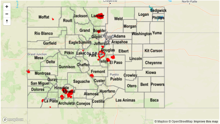
Flooding was not reported on Sunday. For precipitation estimates in your area, check out the State Precipitation Map below.