Issue Date: Wednesday, June 7th, 2017
Issue Time: 10:30AM MDT
Summary:
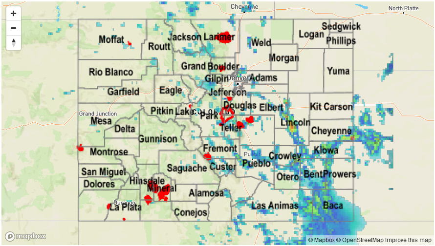
With a ridge axis continued to be positioned overhead and an ample supply of low-level moisture, scattered to numerous thunderstorms were again observed east of the Continental Divide. Storms did not wait long to form, with heavy downpours already visible on radar before noon in the Front Range. Once again, most downpours were short-lived and produced up to 0.5 inches of rainfall, not enough to cause flooding.
Later in the afternoon, as storm updrafts organized into larger clusters, a few particularly impressive storms developed. A slow moving, training cell formed just north of Colorado Springs in the mid-afternoon, producing over 2 inches of rainfall in an hour or so. Flash flooding was reported near the Air Force Academy and this storm carried a Flash Flood Warning for a while. A Flash Flood Warning was also issued for the Hayden Pass fire scar due to a second consecutive day of moderate rainfall. Farther southeast, numerous flood advisories were issued for slow moving storms that produced 2-3 inches of rainfall in a 60-90 minute period. Fortunately, flooding was not reported with these (though most of the heavy rainfall fell in rural locations and flooding may have not been detected). A report of 1 inch hail also accompanied these cells.
Farther west on the other side of the Continental Divide, moisture was substantially lower and only isolated showers and weak storms were observed producing perhaps a few tenths of an inch of rain. Instead, very warm weather was the headline.
For precipitation estimates in your area, check out our Precipitation Map below.
![]()