Issue Date: Tuesday, May 6th, 2017
Issue Time: 10:45AM MDT
Summary:
The Continental Divide is a famous line not only for hydrological reasons, but also for meteorological ones. This was on display on Monday as areas west of the line saw hot, mainly dry weather while areas to the east saw plenty of shower and storm activity. Storms fired over the highest terrain first, in accord with Colorado’s summertime climatology. Then, they moved south and eastwards at 15-25 mph, being steered in that direction by a high pressure ridge extending north-south from the Canadian border all the way into Mexico. Most storms were garden variety “pulse” storms with 30 minutes of heavy rainfall followed by some gusty winds. However, a few turned severe for mainly large hail (with some gusty winds as well).
Maximum observed rainfall was just over 1 inch from a storm east of Denver. However, higher amounts are likely to have occurred over rural parts of Weld County, where up to 2.25 inches fell.
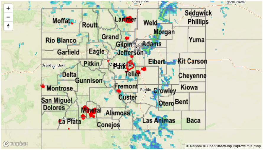
For precipitation estimates in your area, check out our Precipitation Map below. Flooding was not reported on Monday.
![]()