Issue Date: Friday, May 19th, 2017
Issue Time: 11:00AM MDT
Summary:
A strong disturbance and associate low-pressure system affected most of Colorado on Thursday, bringing multiple waves of showers, along with heavy snow in the mountains (and lower elevations for a time), and a few thunderstorms. The highest 24-hour precipitation amounts occurred in the Front Range and Urban Corridor, roughly along the I-25 corridor from Boulder to the Wyoming state line. These regions are typically favored for easterly upslope flow events as yesterday’s storm was. A short list of highest amounts include:
3.82 inches in Larimer County
3.26 inches in Weld County
2.49 inches in Boulder County
1.82 inches in Jefferson County
1.71 inches in Gilpin County
Snow totals for this event were also impressive, especially given how late into the season it was and how low the snow-levels were for most of Thursday. Highest snow amounts were:
30 inches in Larimer County
30 inches in Boulder County
22 inches in Gilpin County
19 inches in Jefferson County
11 inches in Summit County
In addition, thunderstorms producing heavy rainfall were observed across the Southeast Plains as some atmospheric instability developed in conjunction with the strong upper-level forcing. Anywhere between 0.5 to 0.75 inches of rainfall occurred in parts of Pueblo County, likely falling in a period of 1 hour or less.
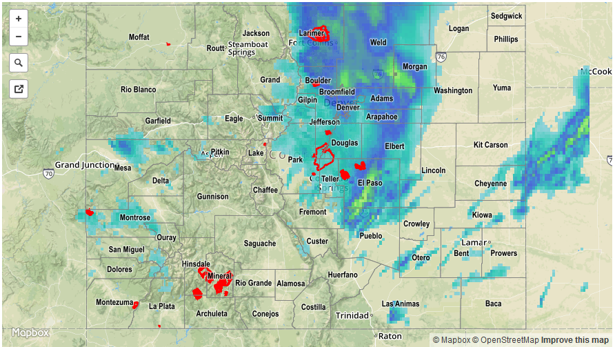
For precipitation estimates in your area, check out our Precipitation Map below (note that this map is underestimating amounts north of Boulder – an updated map will be provided this afternoon). Flooding was not reported on Thursday.