Issue Date: May 18th, 2017
Issue Time: 9:55AM MDT
Summary:
Weather-wise, Wednesday was a day of change across Colorado as a strong disturbance approached the state from the west. West of the Continental Divide, rain and snow showers increased in intensity and coverage as the day wore on. Some impressive snow totals, exceeding 1 foot, were observed, which certainly helps the state’s water supply over the next few months. Precipitation totals west of the Divide generally ranged in the 0.25 to 1.0 inch range.
Heavier rainfall was observed farther east, with the highest amounts falling across the Front Range and Urban Corridor. A moist air boundary moved into northeast Colorado from the northeast and sparked several moderate to strong thunderstorms as it progressed towards the Front Range. The most noteworthy storm was likely near Greeley (Weld County) where over 2 inches of rain fell in less than 3 hours. Elsewhere, several hours of moderate rainfall amounted to over 1 inch of total precipitation across many parts of the Front Range.
For precipitation estimates in your area, check out our Precipitation Map below. Flooding was not reported on Wednesday.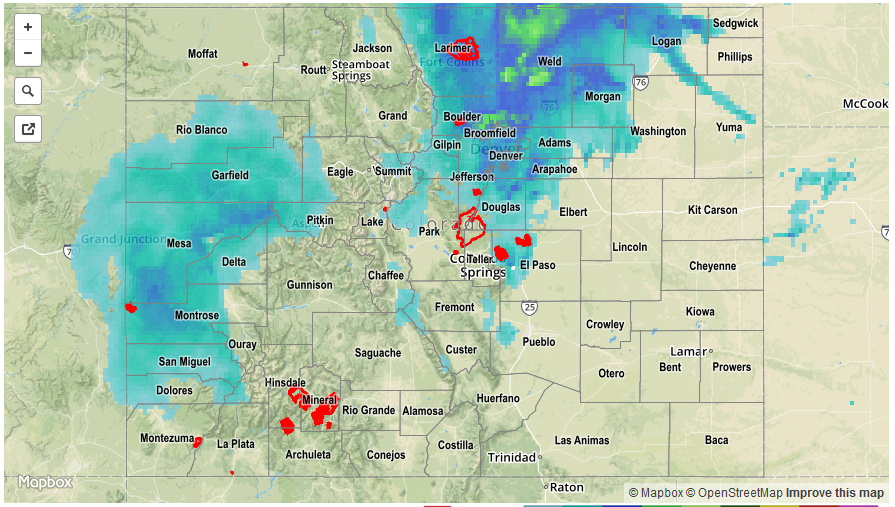
![]()