Issue Date: May 18, 2017
Issue Time: 1PM MDT
Valid Dates: May 19th – June 2
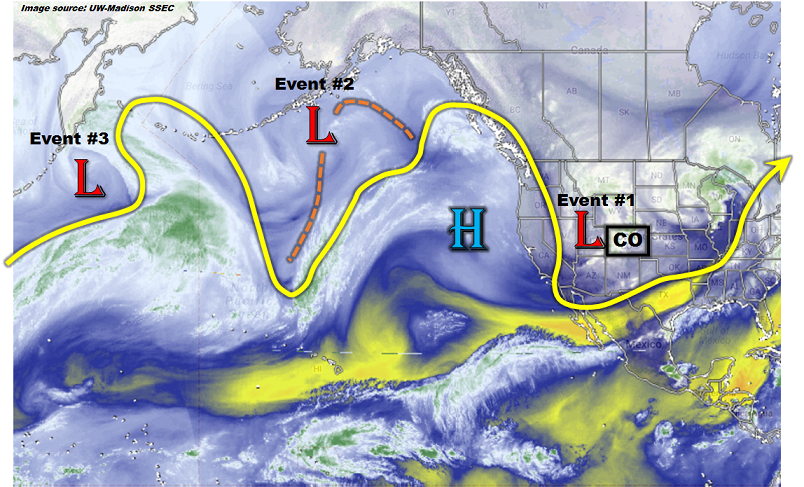
The North Pacific/North American water vapor image, below, shows a very active jet stream across the entire region. During the next 15 days, there are four precipitation events that have been identified as capable of producing widespread precipitation. Event #1 is ongoing, courtesy of a cut-off low that is currently swinging through Colorado, providing a late spring snowstorm for the higher terrain and rain for the lower elevations. Most of the precipitation associated with this storm will be finished by later this evening. However, some additional precipitation will be possible for eastern parts of the state on Friday. Thereafter, the ridge currently off the west coast will shift slightly eastward, intensify and aid in the development of an impressive trough across the central United States. This kind of pattern will promote a slew of disturbances, referred to here as Event #2 and Event #3, originating off the Canadian and Montana Rockies and quickly moving southeastward across eastern Colorado. While precipitation chances with each disturbance are high, no flood threat is currently warranted.
The period from May 27 – May 30 currently looks to be an in-between period where the west coast ridge will temporarily bulge into Colorado. A few warm days are likely during this stretch. Thereafter, a breakdown of the southern periphery of the ridge is expected, which will provide access for disturbances to affect Colorado from the west and southwest. Once again, no flood threat is warranted at this time, and future Outlooks will have a better grasp of this event.
Below we describe each of the three identified Events in more detail.
Event #1: Friday (5/19)
Elevated Flood Threat as cut-off low pressure exits the region
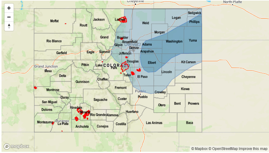
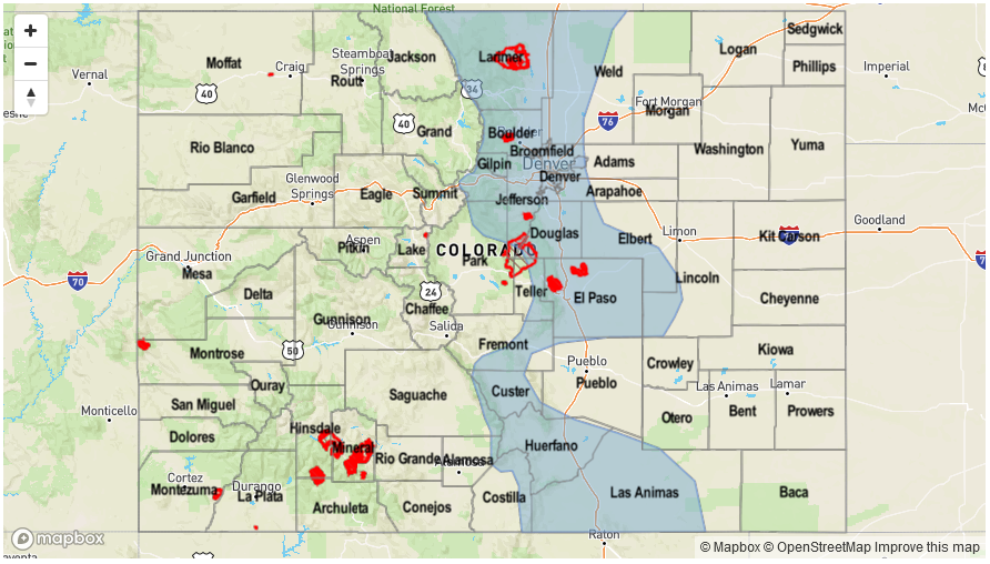
An impressive late spring snowstorm will depart Colorado early Friday. As it does so, light to moderate rainfall, possibly mixed with morning snow above 6,000 feet will continue through Friday afternoon. The rainfall intensity will not be enough to cause flooding concerns. However, the large amount of antecedent rainfall will mean that many creeks and streams of the Front Range will be swollen. Some of this will be mitigated by low snow levels, which will greatly temper the runoff rates. Nonetheless, nuisance stream-side flooding will be common in the foothills. This is expected to subside by Saturday. Please pay attention to National Weather Service warnings and advisories for key problem areas.
Event #2: Sunday (5/21) through Tuesday (5/23)
Daily precipitation chances but No Anticipated Flood Threat
A large-scale ridge-trough combination will setup by Sunday across western and central North America, respectively. Several “northwest flow” disturbances will quickly trek across mainly eastern Colorado from Sunday through Tuesday. The amount of instability through this time period appears to be low as return (easterly/southeasterly) flow will not have time to develop. Although many areas will see light precipitation, flooding is not expected. Nonetheless, many higher elevation regions east of the Continental Divide should pick up over 0.5 inches of beneficial rain and snowfall during this time period.
Event #3: Thursday (5/25) through Friday (5/26)
No Anticipated Flood Threat at this time, but upgrade possible
Although the large-scale pattern from Event #2 is expected to continue as Event #3 occurs, there may be more moisture available for heavier precipitation amounts. The favored regions are expected to be northeast Colorado and into the Palmer Ridge. At this time, there is not enough confidence to warrant a precipitation map.
Event #4: Wednesday (5/31) through Friday (6/2)
No Anticipated Flood Threat at this time
After Event #3, a high pressure ridge will bulge eastward causing a string of warm and mainly dry days. Thereafter, reasonable consensus exists that the flow along the southern periphery of the ridge will break down and allow for a return of disturbances from the west and southwest. Such a pattern would be conducive for moderate to heavy rainfall in the San Juans as well as most of eastern Colorado, east of the Continental Divide. At this time, there is not enough confidence that the ridge will break down. Thus, a precipitation map is not provided.


