Issue Date: Sunday, May 17, 2015
Issue Time: 9:00 AM MDT
Summary:
Another day of isolated-to-scattered showers and thunderstorms for low elevations and snow for elevations above 8500-9000 feet befell Colorado yesterday. The first wave moved through during the day, the second wave moved in overnight, and is still producing light rain and snow showers over the high country. The rain and snow of the past few days has been very beneficial, while not producing any flash flood reports, and that is a great thing. It has also been a nice “boost” to the snowpack, just take a look at this report: Since Friday, Ophir (in San Miguel County) has reported 24 inches of heavy snow! As far as rainfall totals are concerned, most were light, as cooler air and average precipitable water values were in place, which is not favorable for heavy rain production. Where better moisture and warmth was in place, namely over the Northeastern Plains, thunderstorms were able to produce rainfall a bit more efficiently, allowing for the 0.65 inch report from Washington County.
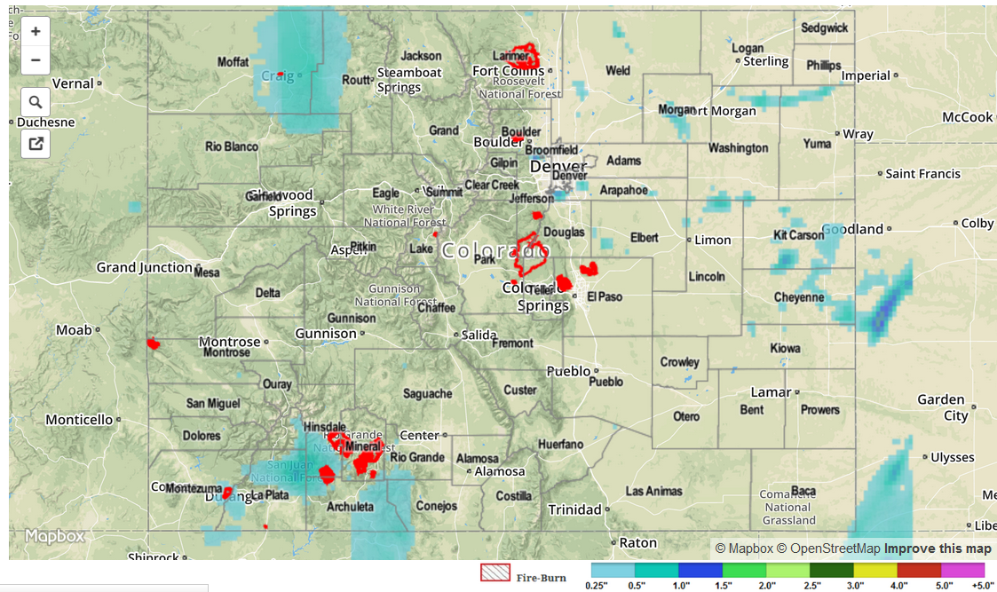
For a look at a statewide overview of 24-hour precipitation, be sure and check out the radar-derived STP map below. No flash flooding was reported yesterday.