Issue Date: May 10th, 2017
Issue Time: 9:55AM MDT
Summary:
A strong disturbance continued to provide favorable dynamics for shower and storm generation on Tuesday. Multiple rounds of precipitation activity were seen covering basically the entire state. The heaviest activity was found in the southwest and southeast parts of the state where instability was greatest. Over 1 inch of rainfall fell across many counties in the Southeast Plains, with the highest CoCoRaHS observation being 1.51 inches in Prowers County. Additionally, parts of the Southeast Mountains and Raton Ridge saw persistent moderate to heavy rainfall, prompting Areal Flood Advisories and Flash Flood Warnings from the National Weather Service in Pueblo. Fortunately, no official flooding reports were received as of this morning.
In addition to the rainfall, small to moderate sized hail was observed for a second straight day. Unlike Monday’s freak hail storm in Denver that produced hail over 2 inches in diameter, yesterday’s storms produced hail up to 1.25 inches.
Finally, a glance of this morning’s high elevation snow cover shows conditions very close to the long-term climatology. Several locations in the San Juan mountains picked up a few inches of snowfall yesterday, which is always a good thing for summer water supply.
For precipitation estimates in your area, check out our Precipitation Map below.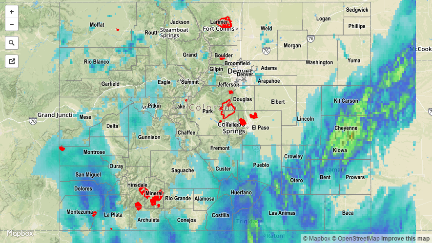
![]()