Issue Date: 5/8/2017
Issue Time: 1:10 PM

Two events are highlighted over the next 15 days, brought about by two large-scale low pressure troughs that are slow to leave the region. Both of these troughs/upper-lows are visible in the water vapor imagery below, denoted by the purple “#1” and “#2”. Event #1 is ongoing at this time, as the upper-level low continues to spin across the desert SW/northern California Baja. Due to its placement, along with the central US ridge, southerly flow will continue to direct moisture from the subtropics across Colorado for the next few days. The flood threat is heightened on Tuesday and Wednesday, but will wind down on Thursday. By Friday, the upper-low is expected to be over central Great Plains, with drier, northwesterly flow across Colorado as upper-level ridging builds in. Residual moisture over the mountains will allow for the usual diurnal convection to take place, but no flood threat is expected. The ridge will hold down the flood threat through Saturday, before southerly flow returns on Sunday as the next upper-level low (Event #2) digs southward along the West Coast.
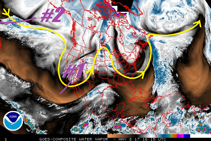
Just as Event #1, the upper-level low associated with Event #2 is expected to be a slow-moving system, providing multiple days of subtropical moisture to the region. There is, however, significant uncertainty in the low’s exact placement, which will have profound implications on the moisture return in Colorado. Right now, it appears that it will be tilted/located in a way that doesn’t maximize rainfall in Colorado, and therefore no flood threat is apparent. This situation can change, and attention will need to be paid to this system. Stay tuned for an update in Thursday’s FTO. After Event #2, ridging is expected to build back across the region, and a bit of a drying trend will take place.
Event #1: Tuesday (05-09-2017) through Thursday (05-11-2017)
Elevated Flood Threat for Exiting Upper-Level Low
The upper-level low will begin its exit from the region, slowly moving across AZ/NM and eventually into central KS/OK. Ahead of the low, southerly flow will continue to advect moisture northward into the region through Wednesday. South-southeasterly surface flow behind Monday’s cold front will open the low-levels to Gulf of Mexico moisture, while the mid- and upper-levels continue to be saturated from the subtropics. As the low moves east of the area by Thursday and the subtropical moisture stream is cut off, residual moisture from the previous days of rainfall will allow for diurnal convection to take place, mainly in/near the mountains.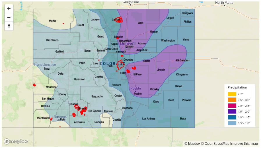
Event #2: Sunday (05-14-2017) through Thursday (05-18-2017)
No Apparent Threat Due to Uncertainty Surrounding Low’s Placement
The upper-level low associated with Event #2 is apparent, and is forecast to dig southward along the West Coast by Sunday. Uncertainty surrounds its exact placement and the tilt of the system, which can have profound implications on the amount of moisture available to Colorado. Due to the uncertainty, no precipitation map will be drawn. Please check back with Thursday’s FTO for an update to this event.