Issue Date: 5/4/2017
Issue Time: 8:40 AM
NO FLOOD THREAT IS FORECAST.
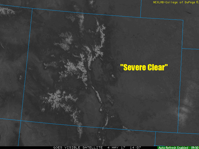
Strong high pressure ridging will build over the state today, resulting in what can be referred to as a “severe clear” day. Dry conditions will prevail as high temperatures push to near seasonal levels across Colorado. A few high-level clouds will return this afternoon/evening, but they won’t do anything other than provide something to look at in the sky.
Today’s Flood Threat Map
For more information on today’s flood threat, see the map below (hover over threat areas for more details). For Zone-Specific forecasts, jump below the map.

Zone-Specific Forecasts
Urban Corridor, Palmer Ridge, Northeast Plains, Southeast Plains, and Raton Ridge:
Sunny and dry conditions are expected today, with a few high clouds returning this evening. High temperatures will warm into the 60s/70s, so if you can, get out and enjoy the afternoon.
Northern Mountains, Northwest Slope, Front Range, Southeast Mountains, San Juan Mountains, Southwest Slope, Central Mountains, Grand Valley, and San Luis Valley:
Sunny and dry conditions are expected today. A few high clouds will return this afternoon/evening. High temperatures will be in the 60s/70s for lower elevations, with highs in the 30s/40s in the mountains.