Issue Date: Sunday, September 25th, 2016
Issue Time: 8:58AM MDT
Summary:
With the strong trough overhead and a remaining fetch of moist west-northwest upslope flow, parts of the Central and Northern Mountains received steady rain and snow showers on Saturday. In particular, the Park, Gore and Sawatch ranges, as well as the Flat Tops tend to do well (if you like snow, that is) during west-northwest flow events. With it still being September, temperatures were warm and snow-levels fluctuated between 9,000 and 10,500 feet. Impressively, the Tower SNOTEL site received 1.0 inch of liquid equivalent, corresponding to 5 inches of snowfall. During the winter, the same 1 inch of liquid could produce up to 25 inches of snow, so the seasons do make a big difference. Below 9,000 feet, light rain or a rain/snow mix resulted in up to 0.5 inches of total precipitation by this morning.
Farther east, a dry and cool fall day was observed with temperatures running a few degrees below normal. Gusty winds in the morning eventually subsided leading to an excellent opportunity to enjoy the outdoors.
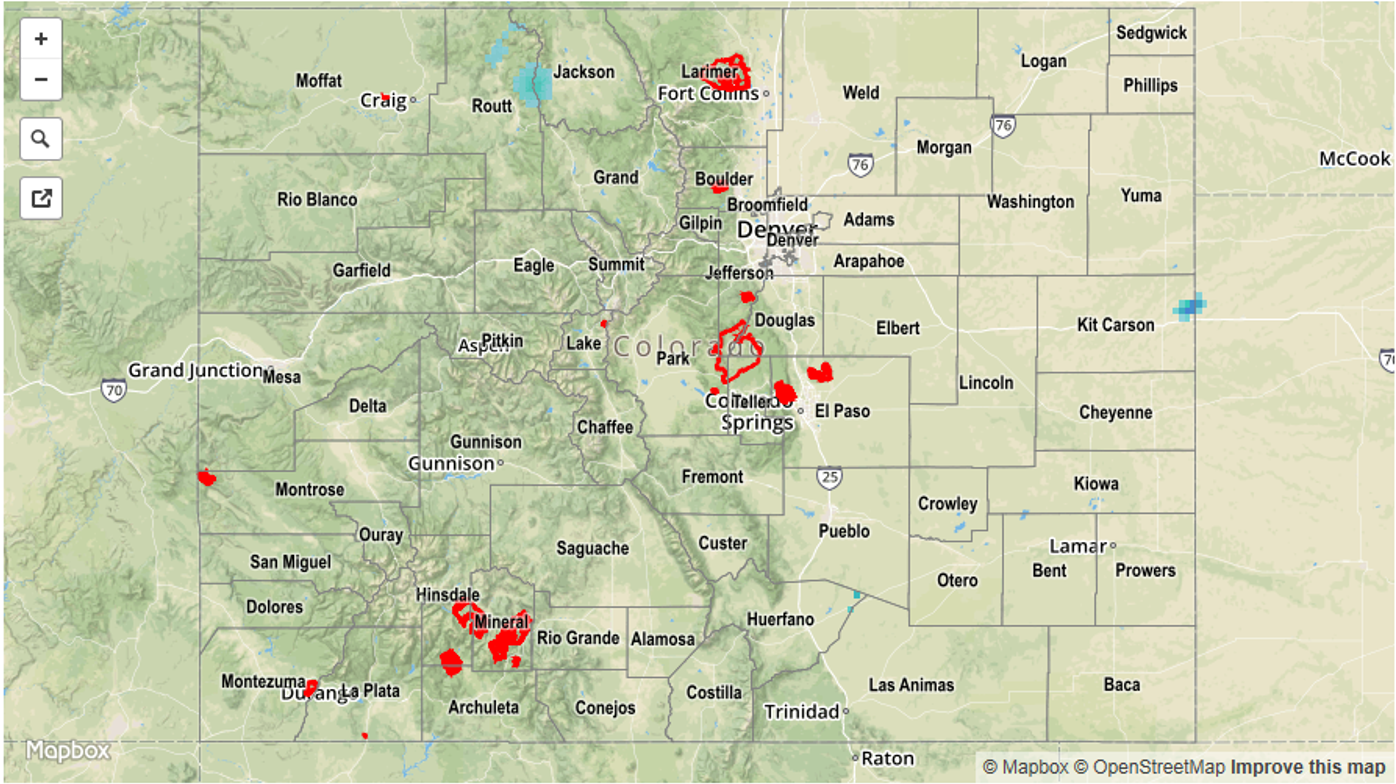
No official flooding reports were received on Saturday. For rainfall estimates specific to your area, check out our Storm Total Precipitation map below.