Issue Date: Thursday, September 22nd, 2016
Issue Time: 9:00 AM MDT
Summary:
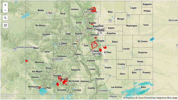
Moisture continued its steady increase across much of the state as a result of persistent southwesterly flow aloft. The better moisture, combined with slightly better upper-level dynamics, led to an afternoon and evening of scattered showers/thunderstorms (with isolated showers continuing overnight), mainly across the higher terrain and western slope. Additionally, a few scattered showers/storms rumbled across portions of the Southeast Plains and Raton Ridge during the late afternoon and through the overnight hours. Rain rates were tempered by much of the moisture residing between 2 km and 4 km above the ground, with drier low-levels able to choke off heavy rain with evaporation. No flash flooding, or related issues, occurred.
For a statewide look at 24-hour precipitation totals, please take a look at the Storm Total Precipitation map below.