Issue Date: Wednesday, September 21st, 2016
Issue Time: 9:15AM MDT
Summary:
A cut-off upper-level trough slowly approached Colorado on Tuesday, bringing with it mostly clouds but little in the way of rainfall. West of the Continental Divide, precipitable water values rose dramatically over the past 24-hours. For example, Grand Junction went from about 0.3 inches Tuesday morning to about 1.0 inch of Wednesday morning. However, most of this moisture was being held in the mid and upper levels of the atmosphere. Nonetheless, scattered showers increased in coverage in the afternoon and evening hours on Tuesday, continuing into the overnight hours. With little instability for convective rainfall, total precipitation amounts were limited to about 0.4 inches in the San Juans. A trace to 0.25 inches of rain fell farther north in the Central Mountains.
East of the Divide, a rather thick cloud deck tried to limit heating but afternoon temperatures still warmed to 5-15F above normal. The highest temperatures were found in the lower elevations of the Arkansas River and South Platte River valleys where several locations notched highs in the mid-90s F.
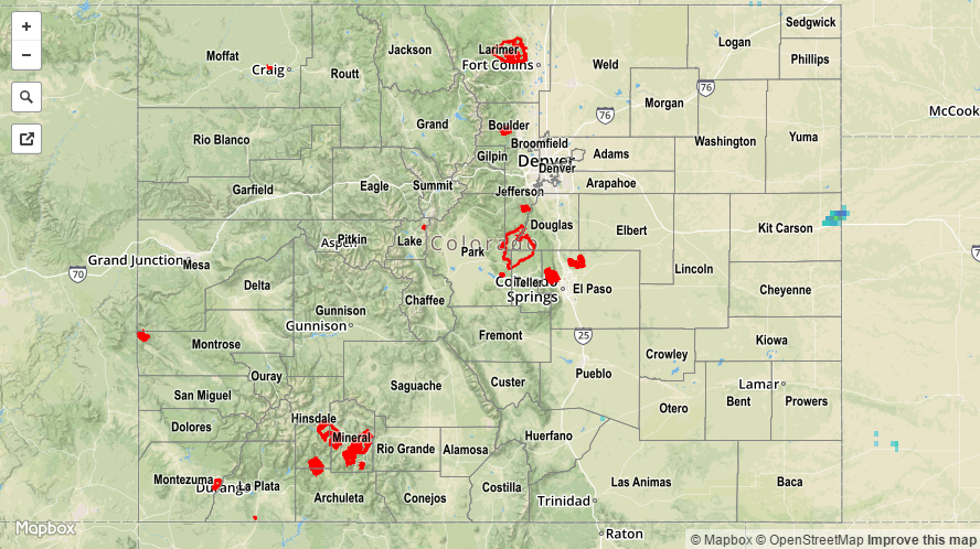
Flooding was not reported on Tuesday. For rainfall estimates specific to your area, check out our Storm Total Precipitation map below.