Issue Date: 9/19/2016
Issue Time: 9:15 AM
NO FLOOD THREAT IS FORECAST.
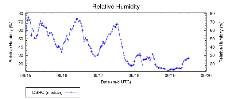
Persistent ridging aloft will continue to define the weather today. Dry westerly flow will do little to bring moisture into the state as IPW and Relative Humidity values continue to stay at subdued levels (see below). Autumn will attempt to evade the area as temperatures will remain unseasonably warm with high temperatures approaching the low 90’s in the Eastern Plains, Urban Corridor, and Raton Ridge, or about 10 to 15 degrees above normal for this time of year. Western portions of the Southwest and Northwest Slope regions will also experience highs that are unseasonably warm as these areas will likely make it into the low- to mid-80’s. Flow aloft is expected to be weaker than yesterday, which will cause reduced winds and a lower, albeit still elevated, fire danger risk compared to yesterday. Please visit your local NWS office website for more details.
A changing weather pattern can be expected as the week progresses and as deep moisture from Tropical Storm Paine may begin to enter extreme western portions of the state as soon as Tuesday night.
Today’s Flood Threat Map
For more information on today’s flood threat, see the map below (hover over threat areas for more details). For Zone-Specific forecasts, jump below the map.

Zone-Specific Forecasts
Northeast Plains, Urban Corridor, Palmer Ridge, Southeast Plains, and Raton Ridge:
It will continue to be sunny, dry, and hot today, with temperatures reaching levels that will be 10 to 15 degrees above normal for this time of year. Fire hazard potential will remain elevated for the Northeast Plains and Urban Corridor, but due to weaker winds, they will not be as severe as they were yesterday.
Front Range, Southeast Mountains, Northern Mountains, Northwest Slope, Grand Valley, Central Mountains, San Juan Mountains, Southwest Slope, and San Luis Valley:
Plenty of sunshine with little chance of moisture will define the weather today throughout all regions as a high pressure sits over the area. Winds will be less but a fire danger still exists in the Northern Mountain and Front Range regions. Enjoy the weather today as moisture from the remnants of Tropical Storm Paine will enter the region in the next few days beginning as early as Tuesday night.