Issue Date: Friday, September 16th, 2016
Issue Time: 9:55AM MDT
— Flooding is NOT expected today
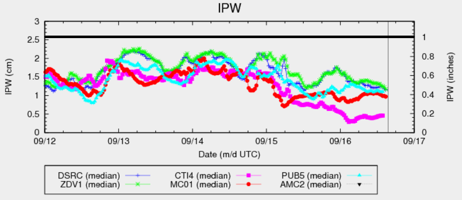
As shown below, today’s Precipitable Water values continue to show a slight decrease compared to 24-hours ago. Moisture recovery is not expected today, and with such little moisture, there will be no flood threat. A few isolated storms are likely to develop over the higher terrain of the Palmer and Raton Ridges as some meager instability will be found there. However, little if any rainfall will make it to the ground. Otherwise, Coloradoans can expect a very pleasant fall Friday.
Today’s Flood Threat Map
For more information on today’s flood threat, see the map below (hover over threat areas for more details). For Zone-Specific forecasts, scroll below the map.

Zone-Specific Forecasts:
Southeast Plains, Northeast Plains, Palmer Ridge, Raton Ridge, Front Range, Urban Corridor, Southeast Mountains:
Mostly sunny early then partly cloudy with an isolated shower and weak thunderstorm possible from mid-afternoon to early evening. Best chances will be over the higher foothills of the Palmer and Raton Ridges. Max 1-hr rain rates up to 0.4 inches with hail up to 0.5 inches possible with the strongest storm. Flooding is not expected today.
Primetime: 2PM to 7:30PM
San Juan Mountains, Southwest Slope, Grand Valley, Central Mountains, San Luis Valley, Northwest Slope, Northern Mountains:
Sunny early then partly cloudy with an isolated shower possible especially over the higher terrain closer to the Wyoming border. Max 1-hr rain rates up to 0.15 inches. Flooding is not expected today. Very low relative humidity values are expected over the San Juans though fortunately low wind speeds will mitigate the wildfire threat.