Issue Date: Tuesday, September 13th, 2016
Issue Time: 9:10AM MDT
Summary
The combination of an approaching low-level trough from the west, and a cool front from the north led to changing weather conditions across Colorado on Monday. Moisture recovery (from some of the driest conditions of the 2016 warm season observed on Sunday) began in earnest leading to scattered showers and a few weak thunderstorms across many parts of the state. For example, Grand Junction’s precipitable water value bottomed out at 0.2 inches on Sunday afternoon, then rose to 0.85 inches on Monday before slightly retreating. With only marginal instability in place, light to moderate rainfall rates were the norm. Twenty-four hour rainfall total amounts of 0.25 to 0.5 inches were observed, with slightly heavier rainfall approaching about 0.75 inches seen over the Southeast Plains. Perhaps the more notable weather feature on Monday were the continuation of gusty winds across the higher terrain. Several favored regions across the western slope reported wind gusts in the 45-55 mph range either associated directly with thunderstorms or through the flanking gust flow boundaries. Fortunately, with higher moisture content in the air, the threat of wildfires was substantially reduced compared to Sunday.
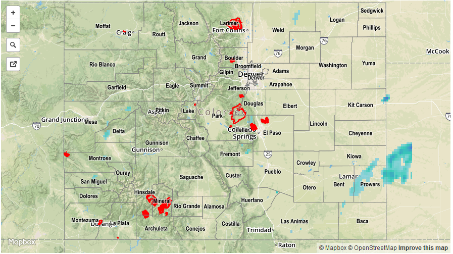
Flooding was not reported yesterday. For rainfall estimates specific to your area, check out our Storm Total Precipitation map below.