Issue Date: Monday, September 5th, 2016
Issue Time: 9:00 AM MDT
Summary:
Overall, yesterday was a quieter day for most, as Colorado began the transition out of the prolonged active period that had gripped the state for nearly a week. Moisture took a downturn across much of the state, minus the far eastern plains, where better moisture and decent instability resided. This better moisture/instability provided the fuel for isolated afternoon/evening thunderstorms, with a couple becoming severe. Severe storm reports from yesterday include:
3.0 inch hail: 9 miles NNW of Alvin (Yuma)
2.5 inch hail: 7 miles NNW of Alvin (Yuma)
1.75 inch hail: 2 miles N of Hillrose (Morgan), 12 miles SE of Julesburg (Sedgwick), 8 miles SE of Holyoke (Phillips), 3 miles ESE of Idalia (Yuma),
1.0 inch hail: 3 miles SSW of Hillrose (Morgan)
Wind Damage (power pole and 3 foot diameter tree down): Wiley (Prowers)
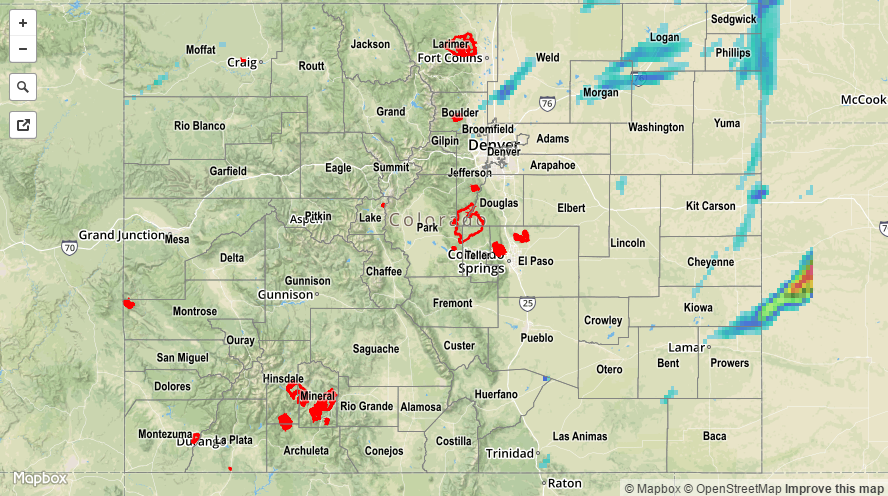
No flash flooding was reported. For a closer look at rainfall totals in your area, please see the STP map below for a look at 24-hour precipitation totals.