Issue Date: Friday, August 26th, 2016
Issue Time: 9:00 AM MDT
Summary:
The upper-level trough continued to affect Colorado’s weather pattern yesterday, sending a small disturbance across the Colorado during the afternoon/evening hours. This disturbance provided favorable dynamics for the development of scattered showers/thunderstorms, while good moisture and sufficient instability promoted locally heavy rainfall within stronger storms. Drier air over the far eastern plains helped keep rain rates down near the CO/KS border. Storm reports from the local National Weather Service offices include:
Thunderstorm Wind Gust: 51 mph, 5 miles NW of Mack (Mesa)
Hail: 0.25 inch in diameter, 2 miles NW of Ridgeway (Ouray)
Heavy Rain: 1.63 inches, 11 miles E of Delhi (Las Animas)
Heavy Rain: 0.55 inches, 2 miles ENE of Cortez (Montezuma)
Heavy Rain: 0.55 inches, Telluride (San Miguel)
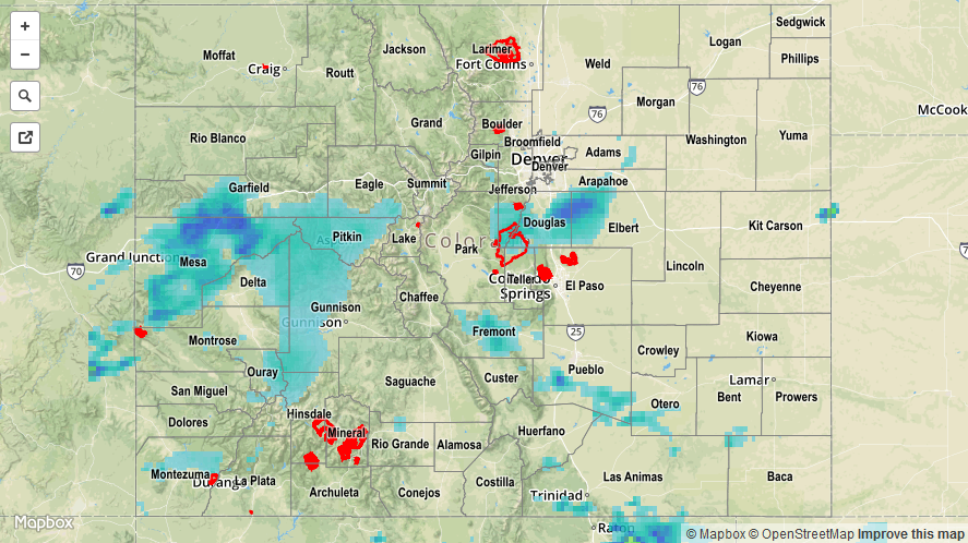
For a statewide look at 24-hour precipitation totals, please take a look at the Storm Total Precipitation map below.