Issue Date: Tuesday, August 23rd, 2016
Issue Time: 9:00AM MDT
Summary
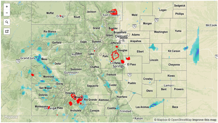
A noticeable change in the weather pattern led to an increase in rainfall coverage and intensity on Monday. A large-scale trough, supported by a broad subtropical jet spanning across Colorado provide the lift necessary to sustain a long round of thunderstorm and shower activity focused on the San Juans, Southwest Slope, Central Mountains, Southeast Mountains and mainly southern parts of the Grand Valley. With limited instability, rainfall rates were generally kept below the 1 inch per hour range. However, a few isolated areas did manage to tally over 1 inch of rainfall. The highest observed value from CoCoRaHS was 0.59 inches, but several SNOTEL sites in the San Juans picked up 0.8 inches, while a lucky SNOTEL site in the Sangre de Cristo Mountains picked up 1.7 inches of rainfall! In all, four areal flood advisories were issued for parts of the region, though no official flooding reports were received as of this morning.
Meanwhile, farther east, thunderstorm formation was inhibited by drier air that was downsloping off the Continental Divide. Rainfall totals were limited to about 0.25 inches.
For rainfall estimates specific to your area, check out our Storm Total Precipitation map below.