Issue Date: Tuesday, August 16th, 2016
Issue Time: 9:00 AM MDT
Summary:
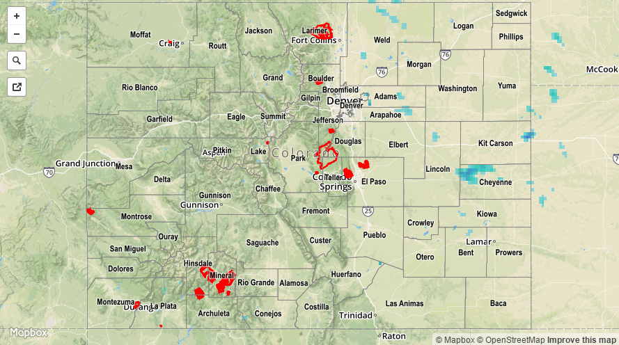
A weak mid-level disturbance rotated across the state yesterday, bringing an increase in moisture and showers/thunderstorms. Even with the increase in mid-level moisture, precipitable water values could only climb to near 0.8 inches at the normal reporting stations thanks to a general lack of low-level moisture. This setup mitigated any threat from heavy rain, with the main impacts being gusty winds, lightning, and light-to-moderate rainfall. Low-level moisture was a bit better over the far eastern plains, allowing for brief periods of heavy rainfall underneath thunderstorms. Even so, no flash flooding was reported as rain rates remained below threshold.
For a statewide look at 24-hour precipitation totals, please take a look at the Storm Total Precipitation map below.