Issue Date: Monday, August 15th, 2016
Issue Time: 9:00 AM MDT
Summary:
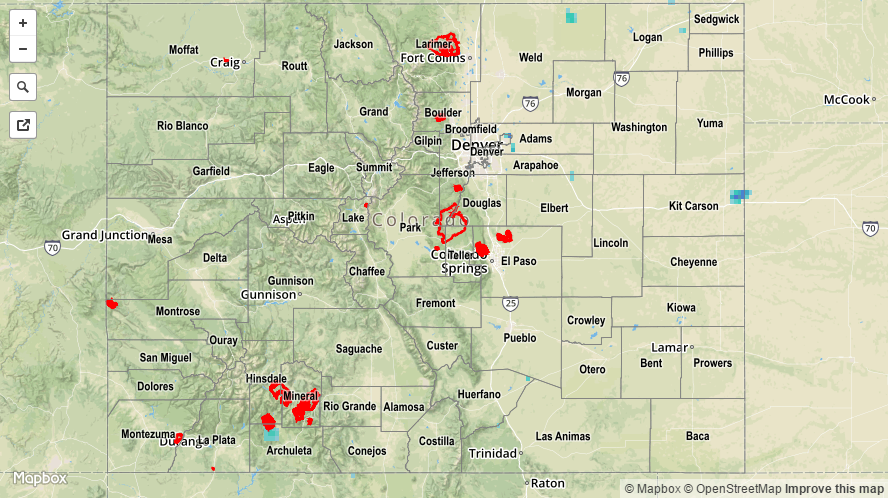
As the upper-level ridge built overhead, drier air was transported in from the west, resulting in a quiet day overall. Only a couple isolated showers/weak thunderstorms were able to form over the higher terrain of the San Juan Mountains, Front Range, Southeast Mountains, and Central Mountains, while mid-level warming helped to cap off the lower elevations and squash any convection. Rainfall totals were light where any rain did fall, and no heavy rain/flash flooding was reported.
For a statewide look at 24-hour precipitation totals, please take a look at the Storm Total Precipitation map below.