Issue Date: 8/14/2016
Issue Time: 9:00 AM
NO FLOOD THREAT IS FORECAST.
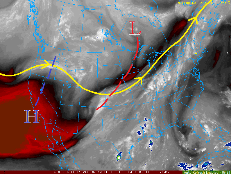
The disturbance, and its parent low pressure circulation, that provided forcing for yesterday’s uptick in showers/thunderstorms have continued their progression, now east of Colorado. An upper-level ridge of high pressure has filled in behind it, and will become centered over the shared borders of CA/NV/AZ/UT by this afternoon. This will bring warming aloft to Colorado, capping off much of the environment and boosting surface high temperatures this afternoon.
A few showers/thunderstorms are still expected, working off of residual moisture and benefitting from favorable terrain. Isolated-to-widely scattered showers/thunderstorms will develop initially over the higher terrain of the Central Mountains, San Juan Mountains, Southwest Slope, Front Range, and Southeast Mountains, and move to the south-southeast with time. This will bring a couple of showers/thunderstorms over the lower elevations, including the Urban Corridor, during the afternoon/evening hours. Additionally, the preferred terrain of the Cheyenne Ridge, Palme Ridge, and Raton Ridge will likely kick off a couple isolated showers/thunderstorms. Rain rates will remain below flood threat thresholds, as moisture is simply too low. Expect any thunderstorm activity to produce more wind/lightning than rain. For more information regarding timing and rain rates, please see the zone-specific forecast discussions below.
Today’s Flood Threat Map
For more information on today’s flood threat, see the map below (hover over threat areas for more details). For Zone-Specific forecasts, jump below the map.

Zone-Specific Forecasts
Front Range, Southeast Mountains, Northeast Plains, Urban Corridor, Palmer Ridge, Southeast Plains, and Raton Ridge:
Mostly sunny and warmer will be the main weather story today. A few isolated-to-widely scattered showers/storms are expected over/near the higher terrain, and along the preferred terrain of the Cheyenne Ridge, Palmer Ridge, and Raton Ridge. Maximum rain rates will be 0.3-0.6 inches/hour over the higher terrain, and 0.4-0.8 inches/hour elsewhere.
Timing: 11 AM – 11 PM
Central Mountains, San Juan Mountains, Southwest Slope, and San Luis Valley:
A few isolated-to-widely scattered showers/weak storms are expected over the higher terrain, but the main weather story will be the mainly dry conditions. Moisture values are low, so storms will produce more wind/lightning than rain. Maximum rain rates will be 0.3-0.6 inches/hour.
Timing: 11 AM – 10 PM
Northern Mountains, Northwest Slope, and Grand Valley:
Mostly sunny and dry will be the name of the weather game today. A few high-based cumulus clouds will be noted over the higher terrain, but nothing more than virga will result. A Fire Warning continues for Mesa County, so be sure to check in with the National Weather Service in Grand Junction for more information.