Issue Date: Tuesday, August 2nd, 2016
Issue Time: 9:00 AM MDT
Summary:
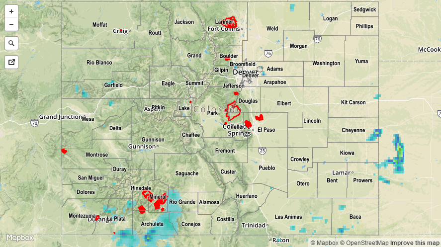
Monsoonal moisture remained over southern Colorado, but was largely kept at bay by the influx of drier air across northern Colorado. IPW values peaked over southern and western Colorado during the late afternoon/evening, coinciding with the heaviest reported rainfall of the day. The following reports all come from La Plata County:
Pea-sized hail mixed with heavy rain: 1 mile SSW of Durango (3:05 PM)
Pea-sized hail and 0.65 inches of heavy rain in15 minutes: 5 miles WSW of Durango (3:18 PM)
1.25 inches of rain in 25 minutes: 5 miles ESE of Hesperus (4:54 PM)
Most other showers/thunderstorms were garden variety, producing mainly gusty winds and light-to-moderate rainfall. No flash flooding was reported. For a statewide look at 24-hour precipitation totals, please take a look at the Storm Total Precipitation map below.