Issue Date: Tuesday, July 19th, 2015
Issue Time: 9:00 AM MDT
Summary:
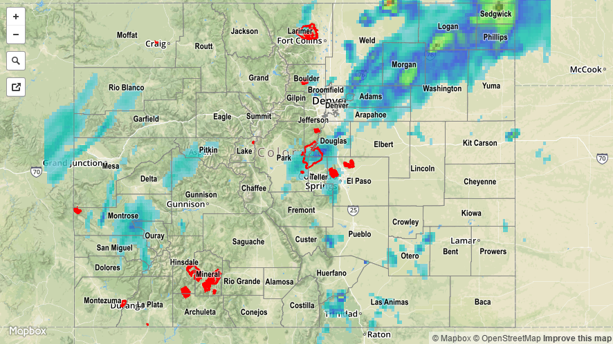
It was an active period across much of the state yesterday as monsoonal moisture made a significant push into Colorado around a strong ridge centered over Texas. Precipitable water values increased steadily throughout the day and night, reaching above 1 inch at all of the four normal reporting stations (Grand Junction, Pueblo, Boulder, and Schriever AFB). Scattered showers/thunderstorms continued throughout the night across the High Country and Western Slope, with activity ongoing this morning. For eastern Colorado, a few of the storms were strong/severe, producing periods of heavy rain, strong winds, and hail. Storm reports from yesterday’s activity are as follows:
67 mph Thunderstorm Wind Gust: Holyoke (Phillips County)
64 mph Thunderstorm Wind Gust: 8 miles S of Holyoke (Phillips County)
59 mph Thunderstorm Wind Gust: Akron (Washington County)
Thunderstorm Wind Damage (Large tree branches down along 10th street, tree down at 10th and 33rd intersection): 2 miles NNE of Greeley (Weld County)
1.75 inch hail: 2 miles NNE of Greeley (Weld County)
1.25 inch hail: 1 mile N of Greeley (Weld County)
No flash flooding was reported, although localized street/field ponding and flooding likely occurred underneath strong thunderstorms. For a more complete look at 24-hour precipitation totals, please take a look at the Storm Total Precipitation map below.