Issue Date: Sunday, July 17th, 2017
Issue Time: 9:25AM MDT
Drying, originating from the mid and upper-levels of the atmosphere eventually made it to the surface and provided mostly sunny and very hot weather across most of the state. High temperatures cracked 100F across almost all valley locations with 90F+ seen even at locations above 7,000 feet (for example, Monument Hill). Deep vertical mixing of the dry atmosphere brought down higher wind speeds from the overlying jet streak. Gusts up to 40 mph were common during the mid to late afternoon hours, which made for a pleasant breeze amidst the heat. Across the Northeast Plains and Southeast Plains, some residual morning moisture hung around long enough to let isolated thunderstorms to pop up. Max one hour rainfall up to 0.8 inches occurred under the strongest region of the storm, along with wind gusts over 60 mph. Hail of 0.88 inches was reported with the cell in far southeast CO, prompting a brief severe thunderstorm warning.
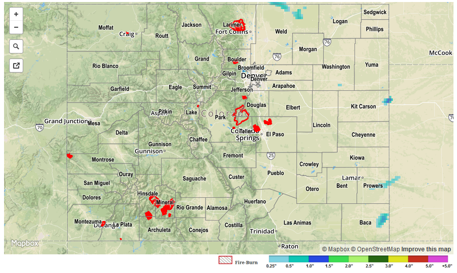
Switching topics to the dry side of things, the Blair, Hayden Pass and Beaver Creek fires continue to burn this morning, with containment at or below 25%. Fortunately, wetter conditions finally look like they are around the corner (see our latest Flood Threat Outlook).
There were no official flooding reports yesterday. For specific rainfall estimates in your area, check out our Storm Total Precipitation map below.