Issue Date: Wednesday, July 13th, 2016
Issue Time: 9:00 AM MDT
Summary:
Overall, the majority of Colorado experienced a mostly sunny and warm day yesterday as dry air continued to be transported in from the west. A moisture surge from the southeast brought low-level moisture back into eastern Colorado, providing the fuel for a line of strong-to-severe thunderstorms across the Northeast Plains. Anchored to a surface boundary and driven by westerly flow aloft, the storms trained over roughly the same locations, leading to good rainfall totals. Yuma County and Washington County were the big rainfall winners. According to CoCoRaHS observers, totals of 1.66 inches, 2.31 inches, and 2.35 inches were reported across Yuma County.
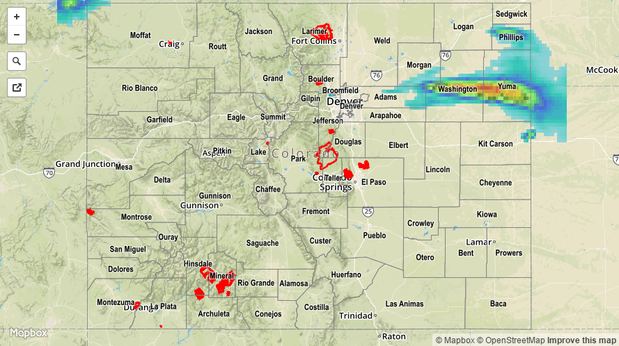
Only one severe storm observation was reported to the NWS: 1 inch hail fell in Abarr (Yuma County). No flash flooding was reported. For a statewide look at 24-hour precipitation totals, please take a look at the Storm Total Precipitation map below, keeping in mind that hail likely contaminated the radar estimates, and actual totals are likely a bit lower.