Issue Date: Friday, May 8th, 2015
Issue Time: 9:05 AM MDT
Summary:
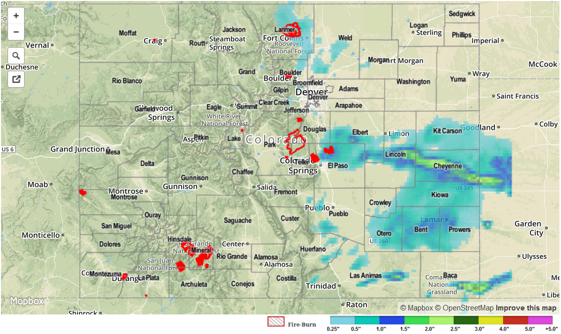
On Thursday, sunshine peaked through the clouds to warm the ground. This combined with a favorable upper-level pattern and a moist atmosphere to cause showers and thunderstorms across many parts of Colorado. While most rainfall rates remained light enough to prevent flooding, a Flash Flood Warning was issued for El Paso County during the early afternoon for particularly heavy rainfall runoff. This was also exacerbated by saturated soils from consecutive days of rainfall. An Areal Flood Advisory was issued for Routt County during the late morning for “rain-on-snow” type streamside flooding of the Yampa River. In addition to heavy rainfall, a whole string of Severe Thunderstorm warnings were issued over the Palmer Ridge, Raton Ridge and Southeast Plain regions for large hail. A dozen or so hail reports were observed across the state ranging from 0.75 inches along the I-25 corridor from Colorado Springs southward to the New Mexico border. Larger hail, up to 1.75 inches in diameter was observed in Cheyenne county. Several funnel reports were received along with a tornado report in eastern Baca county on the Kansas border.
Highest 24-hour rainfall amounts were once again noted in El Paso county with 2.05 inches observed in northeast of Colorado Springs. Numerous additional reports of 1 inch or more were observed in El Paso, Otero, Weld, Adams, Gilpin and Lincoln Counties.
Officially, one flooding report was received when an observer noted Cottonwood Creek coming out of its banks northeast of Colorado Springs.
Please see the map below for estimated rain totals in your area.