Issue Date: Monday, July 11th, 2016
Issue Time: 9:00 AM MDT
Summary:
An upper-level low transitioned eastward across the northwest US, tightening the pressure gradient across Colorado, leading to gusty winds. In fact, the following non-thunderstorm wind gusts were recorded:
52 mph: Mount Abrams (Ouray County), 2 miles SE of Silverton (San Juan County)
55 mph: 2 miles SW of Swamp Angel, near Red Mountain Pass (San Juan County)
Meanwhile, dry air was transported in from the west/southwest, and high fire danger was the result. The following fires are ongoing across Colorado:
Beaver Creek Fire (Jackson County)
Cold Springs Fire (Boulder County)
Spring Gulch Fire (Douglas County)
Hayden Pass Fire (Fremont County)
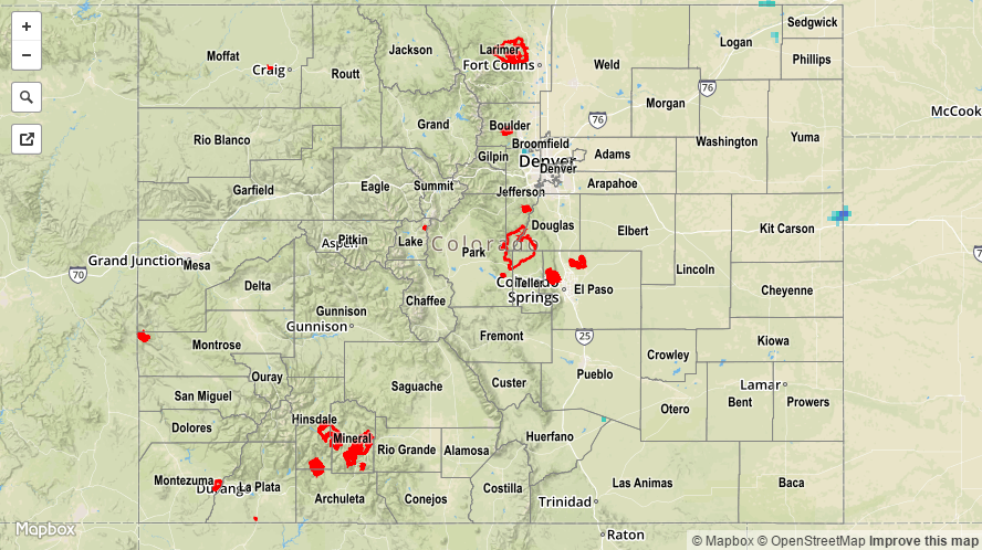
For a statewide look at 24-hour precipitation totals, please take a look at the Storm Total Precipitation map below.