Issue Date: 7/10/2016
Issue Time: 9:07 AM
NO FLOOD THREAT IS FORECAST.
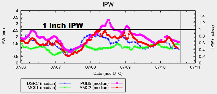
An upper-level low currently spinning over the Pacific Northwest will slide eastward today, becoming centered over western Montana by midnight tonight. In response, the pressure gradient across Colorado will tighten, bringing gusty winds to much of the state. Additionally, drier air from the west/southwest will push into Colorado, lowering the IPW values currently shown on the graph below. Abundant sunshine will push high temperatures well above average across a majority of the state, with some records being flirted with along the I-25 corridor and eastern plains.
With hot, dry, and gusty conditions expected, fire danger is high across much of the state. Red Flag Warnings are in effect for portions of the following regions: Front Range, Urban Corridor, Palmer Ridge, Southeast Plains, Southeast Mountains, San Luis Valley, Southwest Slope, Grand Valley, Central Mountains, Northern Mountains, and Northwest Slope. Explosive fire growth is a concern, so please be careful with any outdoor activities. The Cold Creek Fire continues to burn in Boulder County (0% contained), as well as the Beaver Creek Fire in Jackson County (5% contained).
The lone exception to the dry conditions will be the far Northeast Plains and Southeast Plains, much like yesterday. The dryline will sit near the eastern CO border, and areas to the east will retain enough moisture for the development of isolated thunderstorms. Rain rates will remain below flash flood thresholds. The main threats will be strong winds, large hail, and lightning, with brief periods of moderate rainfall. For more details, please see the zone-specific forecast discussions below.
Today’s Flood Threat Map
For more information on today’s flood threat, see the map below (hover over threat areas for more details). For Zone-Specific forecasts, jump below the map.

Zone-Specific Forecasts
Northern Mountains, Front Range, San Juan Mountains, Southeast Mountains, Urban Corridor, Palmer Ridge, Raton Ridge, Northwest Slope, Grand Valley, Central Mountains, and Southwest Slope:
Abundant sunshine, hot, and dry will be the main weather story today. Fire danger is high, and it is imperative that everyone be careful with anything that could start a fire, including cigarettes, car exhausts, grills, etc. Please check with your local National Weather Service office for more information.
Northeast Plains and Southeast Plains:
Hot and dry for most, especially for western and central portions of the regions. For far eastern counties, a couple isolated thunderstorms are possible this afternoon and evening. A dryline will set up across the area, with better moisture existing to the east. Rain rates will remain below flash flood thresholds, with maximum rain rates as follows:
Northeast Plains: 0.5-1.0 inches/hour
Southeast Plains: 1.0-1.5 inches/hour
Timing: 1 PM – 9 PM