Issue Date: Saturday, July 9th, 2016
Issue Time: 9:00 AM MDT
Summary:
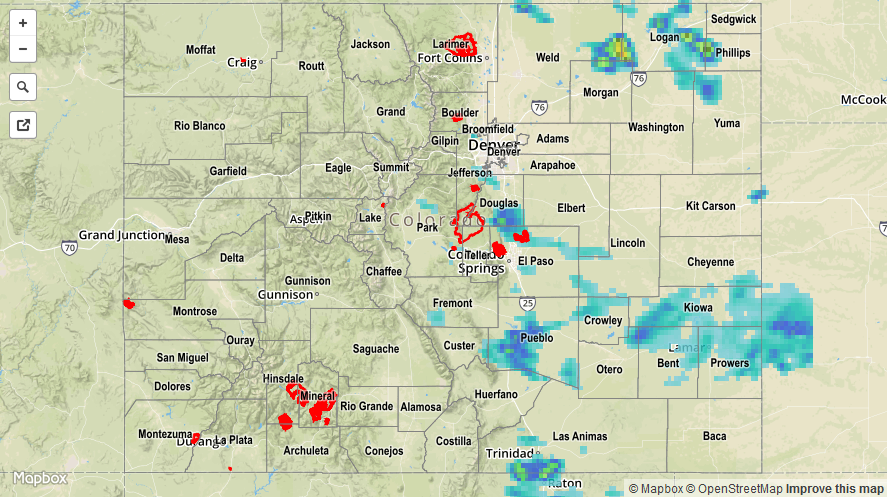
East/southeasterly flow reinforced moisture east of the mountains yesterday, providing the fuel for an afternoon/evening of isolated-to-scattered showers and thunderstorms. Combined with strong daytime heating, the unstable air mass over eastern Colorado supported a few strong/severe thunderstorms that produced heavy rainfall, hail, lightning, and strong winds. Severe storm reports are as follows:
2.5 inch hail: 2 miles ESE of Monument (El Paso)
1.75 inch hail: 5 miles SSW of Black Forest (El Paso)
1.25 inch hail: 4 miles SSW of Black Forest (El Paso) and 2 miles SW of Black Forest (El Paso)
1.0 inch hail: 1 mile N of Air Force Academy (El Paso), 3 miles N of Falcon (El Paso), 2 miles NNE of Fountain (El Paso), 3 miles SE of Colorado City (Pueblo), and 3 miles ENE of Air Force Academy (El Paso)
Flash flooding was reported 1 mile SE of Security, where runoff was flowing over the curb and impacting traffic. Additionally, street flooding/ponding was reported on I-25 between Interquest Parkway and Monument Hill due to heavy rain and hail.
Scattered showers and storms also develop over portions of the High Country, mainly along/east of the Continental Divide during the afternoon. These storms had access to less moisture, and were more of the garden variety.
For a closer look at rainfall totals in your area, please see the STP map below for a look at 24-hour precipitation totals.