Issue Date: 7/6/2016
Issue Time: 9:43 AM
NO FLOOD THREAT IS FORECAST.
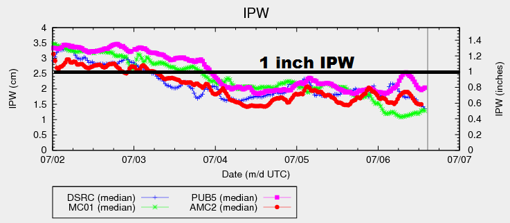
IPW values have remained fairly steady over the past 2+ days, with minor increases/decreases measured. Overall, surface dewpoints this morning are the lowest they have been in quite some time, especially along/west of I-25. The mid-levels continue to retain the best moisture, propping up the overall IPW values. What does this mean for today? The atmosphere will struggle to produce anything more than mid-level cumulus clouds, and nearly all locations will remain underneath sunny skies. Red Flag Warnings are in place across portions of the Grand Valley and Northwest Slope, as gusty winds and hot/dry conditions are expected.
The exception to the rule today will be across the far eastern plains, right along the eastern border. Surface moisture will hold on the longest here, and a few isolated storms are possible this afternoon along a developing dryline. The dryline will quickly mix into western KS during the early evening hours, effectively ending the threat of storms over the far eastern plains.
This evening and later tonight, a couple showers will be possible across the higher terrain as a weak wave translates across the area. These showers are conditional, relying on enough moisture being present after the mixing of drier air during the afternoon/evening. If any showers develop, they will result in more gusty winds than rain. For more information, please see the zone-specific forecast discussions below.
Today’s Flood Threat Map
For more information on today’s flood threat, see the map below (hover over threat areas for more details). For Zone-Specific forecasts, jump below the map.

Zone-Specific Forecasts
Northeast Plains and Southeast Plains:
Sunny and hot for most, with temperatures reaching into the upper 90s and low 100s. Near the eastern border, a couple isolated thunderstorms are possible this afternoon/early evening, developing along an expected dryline. The dryline will quickly mix into western Kansas, effectively ending thunderstorm chances. Maximum rain rates will be 0.8-1.2 inches/hour.
Timing: 1 PM – 6 PM
Urban Corridor, Palmer Ridge and Raton Ridge:
Hot and dry underneath abundant sunshine. A few mid-level clouds will be overhead during the afternoon and evening hours, with a few streaks of virga possible. High temperatures will be in the 80s and 90s, with the lower elevations being the hottest.
Northern Mountains, Central Mountains, Front Range, San Juan Mountains, Southeast Mountains, Southwest Slope, and San Luis Valley:
Sunny skies and warm temperatures will be the main weather story for today. Tonight, a weak wave will slide across the area, producing a couple isolated showers. This is a conditional threat, relying on enough moisture remaining for their production. The main threat from any activity will be gusty winds, with very little rainfall expected. Maximum rain rates will be less than 0.15 inches/hour.
Timing: 6 PM – 3 AM
Northwest Slope and Grand Valley:
Hot and dry conditions are expected. The presence of a tight pressure gradient will lead to gusty winds, which has elevated fire weather concerns. Red Flag Warnings have been issued for portions of the area, so please check with the National Weather Service in Grand Junction for more information.