Issue Date: Wednesday, July 6th, 2016
Issue Time: 9:00 AM MDT
Summary:
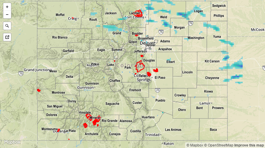
Moisture remained fairly steady yesterday across Colorado, with the biggest change being a reduction in moisture over far western counties. A mid-/upper-level shortwave, combined with the presence of a weak cool front, kicked off another period of showers and thunderstorms. The best coverage occurred across northern Colorado, nearest the best support from the disturbance and cool front. The lone storm report came from Routt County, where 0.5 inch diameter hail fell and shredded rhubarb and zucchini leaves. Southern Colorado, especially lower elevations south of Highway 50, remained dry and mostly sunny.
Rainfall winners, according to CoCoRaHS observers (reports as of 7 AM MDT):
Weld County: 0.85 inches
Grand County: 0.40 inches
Yuma County: 0.30 inches
Larimer County: 0.28 inches
Jefferson County, Cheyenne County: 0.20 inches
For a statewide look at 24-hour precipitation totals, please take a look at the Storm Total Precipitation map below.