Issue Date: Monday, June 27th, 2016
Issue Time: 9:00 AM MDT
Summary:
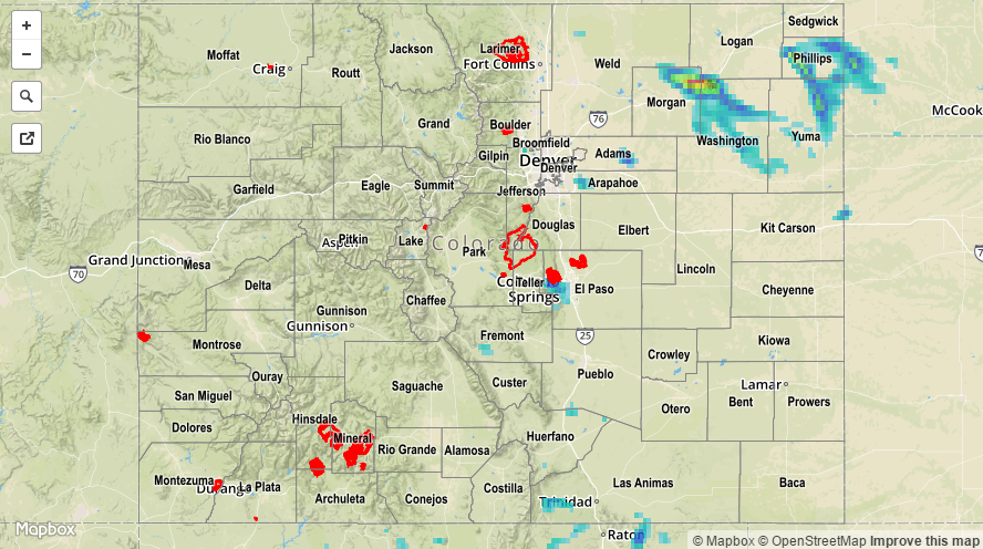
Moisture to the east fought back against drier air moving in from the west, providing enough fuel for the development of isolated-to-widely scattered showers/thunderstorms. Activity began during the afternoon hours, with most ending by 9-10 PM. There were a few isolated storms that continued across the Northeast Plains this morning.
The main threats were gusty winds and lightning as most activity remained fairly high-based. However, over the Northeast Plains, better moisture was present and storms were also accompanied by periods of moderate-to-heavy rainfall. Over western Colorado, yesterday was marked by hot and sunny conditions as the dry air was the dominant force.
No flash flooding was reported yesterday. For a statewide look at 24-hour precipitation totals, please take a look at the Storm Total Precipitation map below.