Issue Date: Saturday, June 25th, 2016
Issue Time: 9:00 AM MDT
Summary:
A battle between dry and moist air was waged across the region yesterday, with dry air only winning out over extreme western/northwestern Colorado. In those locations, dry and hot conditions prevailed during the afternoon, highlighted by fire weather concerns and Red Flag conditions. A few isolated showers/weak thunderstorms developed during the evening/overnight hours as a cool front pushed through the area.
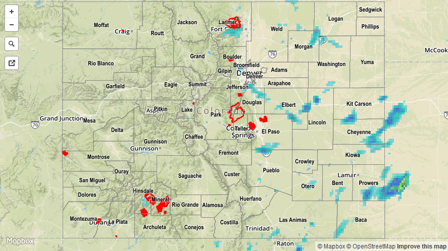
Further to the east, the moist plume fueled another day of scattered showers and thunderstorms. A few were strong, producing small hail, lightning, gusty winds, and periods of heavy rainfall. The majority of the heaviest rain fell over the Northeast Plains and Southeast Plains where low-level moisture was best. Only one severe storm report was filed yesterday, for 1.50 inch hail 3 miles NW of Snyder (Morgan County). The combination of hail/wind also caused tree damage.
No flash flooding was reported yesterday. Please see the STP map below for a look at 24-hour precipitation totals.