Issue Date: Friday, May 1st, 2015
Issue Time: 9:00 AM MDT
Summary:
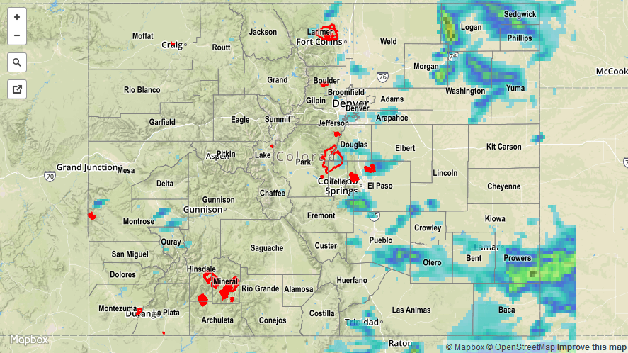
Yesterday was quite an active day with widespread showers/thunderstorms across much of Colorado, thanks to a disturbance that shifted across the region. Across the western slope, much of the activity was in shower form, aside from a few stronger thunderstorms that developed during peak heating. To the east, thunderstorms were the main result as better moisture fueled convective activity. A few storms became strong-to-severe. Here are the severe storm reports:
60 mph wind gust: 3 miles N of Crook (Logan County), Crook (Logan County), 1 mile N of Strasburg (Adams County)
80 mph wind gust: 8 miles N of Fort Collins (Larimer County)
Tornado: 5 miles E of Canon City (Fremont County)
1 inch hail: 16 miles NW of Merino (Logan County)
1.5 inch hail: 3 miles NNW of Pawnee Pass (Logan County)
No flash flooding was reported yesterday. For a statewide look at 24-hour precipitation totals, please take a look at the Storm Total Precipitation map below.