Issue Date: Thursday, June 23nd, 2016
Issue Time: 9:00 AM MDT
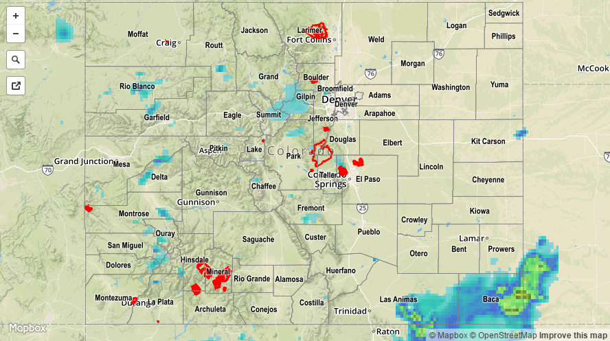
Wednesday saw temperatures that were up to 25F cooler than Tuesday. Along with the cool down, some mid-level moisture helped support scattered to widespread shower and thunderstorm activity. In general, many locations picked up from 0.25 to 0.50 inches, with higher values being skewed towards higher elevations. The highest rain intensities across the state were about 0.8 inches per hour. The highest 24-hour observed amount was just over 1 inch in Fremont County. However, rural parts of southeast Colorado saw up to 1.5 inches of rainfall. In addition to the rain, scattered reports of small hail and gusty winds were also noted.
Meanwhile, the Beaver Creek fire of northern Jackson County almost doubled in size on Wednesday, and covered about 7,000 acres of forest land. Containment efforts are ongoing, though gusty winds were an obstacle.
No flooding reports were received yesterday. For specific rainfall estimates in your area, check out our Storm Total Precipitation map below.