Issue Date: Monday, June 13th, 2016
Issue Time: 9:00 AM MDT
Summary:
As the upper-level low continued its slow slide to the east over the Great Basin, a weak cool front sagged southward across eastern Colorado. Behind the front, moisture was reinforced as low-level upslope flow developed during the afternoon/evening hours. Scattered thunderstorms dotted the state from the Continental Divide and to the east, while more isolated showers/thunderstorms occurred to the west.
Over the lower elevations of eastern Colorado, a few storms were on the strong-to-severe side of the scale; especially those that interacted with one of the many outflow boundaries. Severe storm reports from yesterday include:
1.75 inch hail: 6 miles NE of La Junta, 1 mile W of Rocky Ford
1.25 inch hail: Olney Springs
1.0 inch hail: La Junta, 2 miles NNE of La Junta, 4 miles NNW of Rocky Ford, 10 miles ENE of Pueblo Depot, 7 miles NNW of Black Forest, 12 miles S of Karval
60+ mph winds: 4 miles S of Cheraw, La Junta, 5 miles N of Swink, Olney Springs
Flash flooding was reported 8 miles SE of Cheraw (Otero County), where cars were washed off Highway 50 in sports between mile markers 385 and 389. 8 inches of water was flowing across Highway 50 between mile marker 388 and the Bent County line.
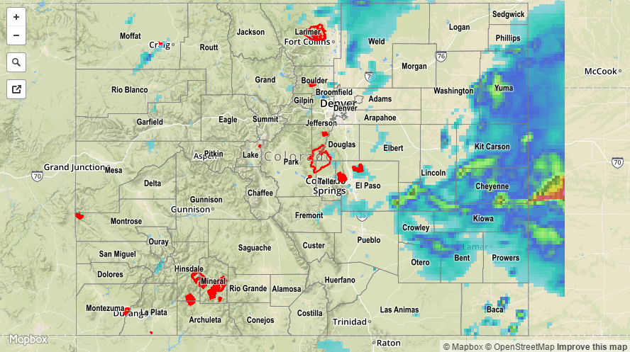
Please refer to the STP map below for a statewide look at 24-hour precipitation.