Issue Date: Sunday, June 12th, 2016
Issue Time: 9:00 AM MDT
Summary:
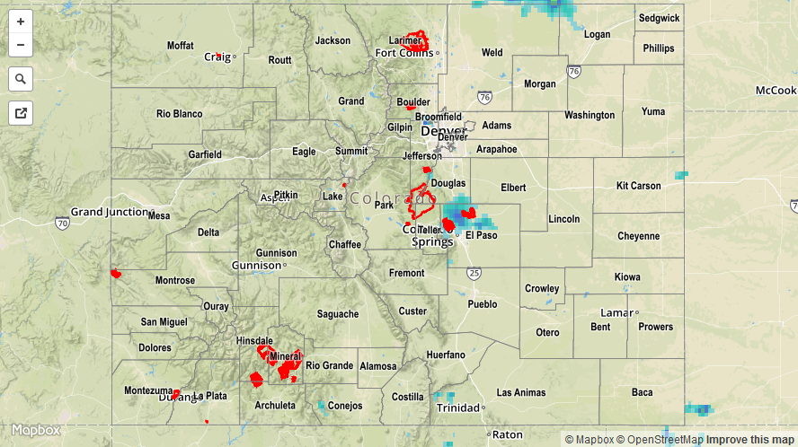
Above average temperatures was the main story again, while thunderstorms increased in coverage over previous days. Most of the thunderstorm activity occurred over/near the mountains, but a couple rumbled across eastern portions of the Raton Ridge and far southeast plains. Most storms were high-based during the afternoon hours, with gusty winds and lightning being the main threats. During the evening/overnight hours, moisture recovered a bit and storms were able to produce a bit heavier rainfall, but not enough to cause any flash flooding issues. The lone heavy rain report from yesterday came from Montrose County, where a rain rate of 0.23 inches/10 minutes was observed 6 miles west of Montrose.
Rainfall winners according to CoCoRaHS observers (reports as of 7 AM MDT):
Jefferson County, Teller County: 0.23 inches
Denver County: 0.19 inches
Douglas County: 0.17 inches
Garfield County: 0.16 inches
Excessive snowmelt/reservoir releases continue to keep a few streams/rivers running high. Please see the STP map below for a look at 24-hour precipitation totals.