Issue Date: 6/11/2016
Issue Time: 9:35 AM
A LOW FLOOD THREAT IS ISSUED FOR PORTIONS OF THE SOUTHWEST SLOPE, SAN JUAN MOUNTAINS, CENTRAL MOUNTAINS, FRONT RANGE, NORTHERN MOUNTAINS, URBAN CORRIDOR, SOUTHEAST PLAINS, SOUTHEAST MOUNTAINS, PALMER RIDGE, AND RATON RIDGE.
A LOW FLOOD THREAT HAS BEEN ISSUED FOR THE GREEN RIVER IN WEST CENTRAL MOFFAT COUNTY, THE CACHE LA POUDRE RIVER AT THE CANYON MOUTH AFFECTING LARIMER COUNTY, AND THE CACHE LA POUDRE RIVER NEAR GREELEY AFFECTING WELD COUNTY.
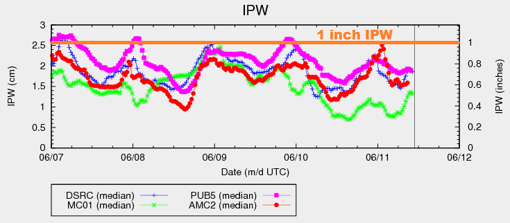
The upper-level ridge will remain over Colorado today, although the axis will have shifted east a bit. This shift east has allowed for an increase in moisture across far western Colorado, and kept moisture relatively steady across eastern Colorado (see IPW chart below). Additionally, the shift in the ridge axis means that warming aloft will take place over the eastern plains, while slight cooling aloft will occur over the High Country. This will promote isolated-to-scattered showers/thunderstorms across the High Country and adjacent lower elevations, while areas further east are essentially capped off. The caveat to this will be the Palmer Ridge and Raton Ridge, where weak surface convergence will be enough to produce a couple isolated thunderstorms. Overall, activity east of the mountains should come to an end by 9-10 PM, while over the mountains storms continue until around 11 PM, with a few lingering past midnight.
Today’s Flood Threat Map
For more information on today’s flood threat, see the map below (hover over threat areas for more details). For Zone-Specific forecasts, jump below the map.

Zone-Specific Forecasts
Urban Corridor, Palmer Ridge, Raton Ridge, Southeast Plains, Northeast Plains:
Hot temperatures will continue today underneath mostly sunny skies. A few isolated thunderstorms are possible, mainly along/near the higher terrain. As stated above, the Palmer Ridge and Raton Ridge will see a couple isolated thunderstorms develop as the result of weak surface convergence. Enough residual moisture will combine with the threat of convergent outflow boundaries from High Country convection to warrant the low flood threat. Most rain rates will be in the 0.2-0.5 inch/hour range, but stronger storms could produce rain rates of 1.2-1.6 inches/hour.
Timing: 2 PM – 10 PM
Northern Mountains, Northwest Slope, Front Range, Central Mountains, San Juan Mountains, Southeast Mountains, San Luis Valley, Grand Valley and Southwest Slope:
Mostly sunny and warm, with temperatures again running above average. Scattered showers/thunderstorms are expected to develop again this afternoon and last into the nighttime hours, mainly over the higher terrain. A few will drift over lower valleys. Most rain rates will remain in the 0.3-0.6 inches/hour range, but a couple stronger storms will have the potential to produce rain rates of 0.8-1.2 inches/hour. Otherwise, the main threats will be gusty winds and lightning.
Timing: 11 AM – 3 AM