Issue Date: Saturday, June 11th, 2016
Issue Time: 9:00 AM MDT
Summary:
Underneath the upper-level ridge, warm temperatures and sunshine were abundant across much of the state. Denver International Airport officially recorded 90 F for the first time in 2016, while many other locations ran 5-15 degrees F above normal. As the day warmed up, though, it played on the residual moisture to produce isolated thunderstorms, mainly over and adjacent to the higher terrain. Most storms were high-based, owing to the relatively dry lower levels, with gusty winds being the main threat.
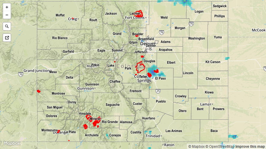
However, outflow boundaries converged in El Paso County, which provided better low-level moisture, and an area of thunderstorms producing heavy rain developed during the evening hours. This was the “storm of the day” with regards to rainfall, accompanied by the following reports:
1.75 inches/45 minutes: 5 miles SSE of the Air Force Academy
1.4 inches/hour: 6 miles NNE of Colorado Springs
No flash flooding was reported yesterday, but minor street flooding was reported in Colorado Springs. Excessive snowmelt/reservoir releases continue to keep a few streams/rivers running high. Please see the STP map below for a look at 24-hour precipitation totals.