Issue Date: Tuesday, June 7th, 2016
Issue Time: 9:00 AM MDT
Summary:
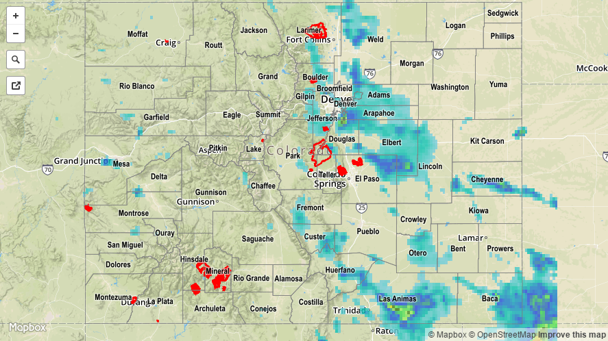
Upslope flow, rising temperatures, and upper-level support helped kick off scattered showers and thunderstorms yesterday. More than a couple of the thunderstorms reached severe criteria, and the strongest produced hail and heavy rain. In fact, heavy rain to the tune of 0.77 inches/15 minutes was reported 1 mile WNW of Walsenburg (Huerfano County), and 1.70 inches of rain was reported 7 miles NNE of La Veta (Huerfano County). Northern portions of Douglas County received the most rainfall compared to the rest of the state, as a slow-moving thunderstorm dropped hail and heavy rain for an extended period of time. This lead to the issuance of an Urban and Small Stream Flood Advisory for the area.
Severe storm reports from local NWS Offices:
Thunderstorm Wind Gust (56 mph): Grand Junction Regional Airport
1.75 inch hail: Highlands Ranch
1.50 inch hail: 2 miles WSW of Highlands Ranch
1.0 inch hail: SSE of Highlands Ranch, 4 miles NW of Boulder, 4 miles NE of Greenland, 1 mile NE of Estes Park
Rainfall winners, according to CoCoRaHS observers (reports as of 7:00 AM MDT):
Douglas County: 2.50 inches
El Paso County: 1.45 inches
Baca County: 0.94 inches
Arapahoe County: 0.88 inches
Several Urban and Small Stream Flood Advisories were issued yesterday. Please refer to the STP map below for a statewide look at 24-hour precipitation.