Issue Date: Friday, June 3rd, 2016
Issue Time: 9:00AM MDT
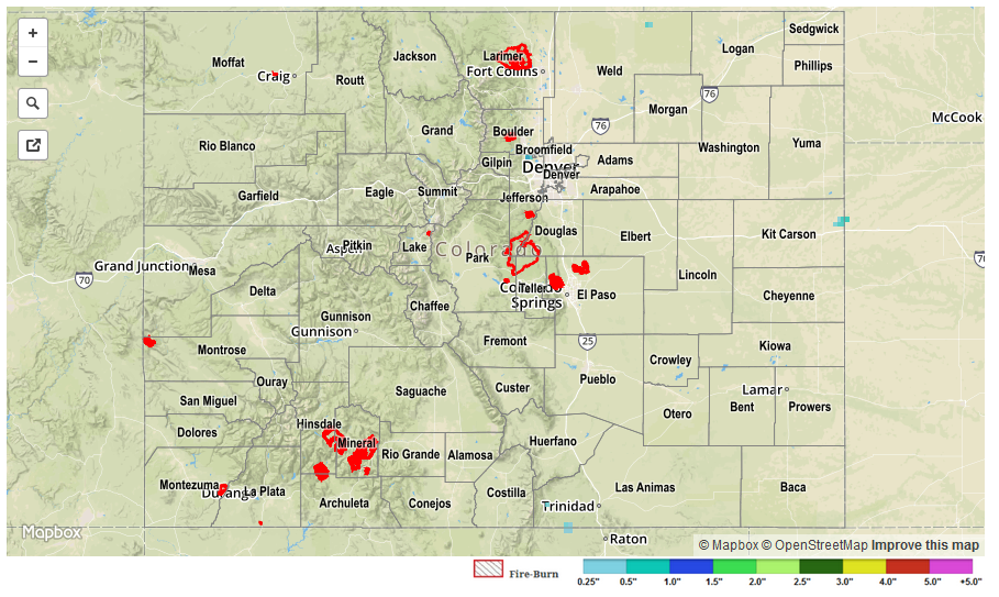
With a ridge of high pressure overhead, nearly all of Colorado stayed dry on Thursday. The only exception to this was the far southern parts of the Southeast Mountains where a few weak thunderstorms popped up in the mid-afternoon before quietly slipping south into New Mexico. Highest rainfall with these was perhaps a few tenths of an inch but there were no observation stations to catch this.
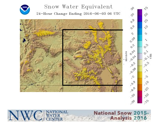
Elsewhere, as expected, snowmelt is progressing in earnest now. Yesterday saw about 1.0 – 1.5 inches of snow water equivalent melt, evaporate or sublimate across many SNOTEL stations. This is confirmed by the areal gridded analysis, shown below, from the National Water Center. Higher elevation streams are certainly on the rise, but appear to be starting from levels that are low enough to absorb the melting snowpack. Of course, having a stretch of warm and dry days helps since evaporation becomes a strong factor that counteracts the runoff.
 Flooding was not observed on Thursday.