Issue Date: Thursday, May 26th, 2016
Issue Time: 9:00 AM MDT
Summary:
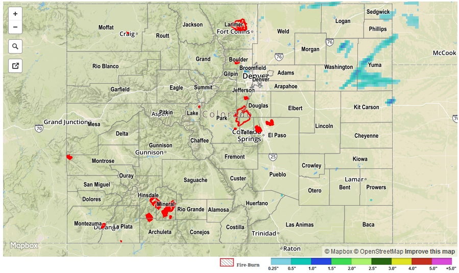
A shortwave ridge suppressed the atmosphere yesterday, keeping Colorado mainly dry with plenty of sunshine. A few isolated showers dotted the higher terrain of western Colorado; showers were most numerous overnight with the approach of the upper-level low. Further to the east, isolated thunderstorms rumbled across the Northeast Plains and northern sections of the Front Range and Urban Corridor. A couple isolated thunderstorms sparked overnight as a cool front moved in from the north and deeper moisture was reintroduced. The stage is set for an unsettled day today.
No flash flooding occurred yesterday. For a look at 24-hour precipitation, please see the STP map below.