Issue Date: Tuesday, May 24th, 2016
Issue Time: 9:00 AM MDT
Summary:
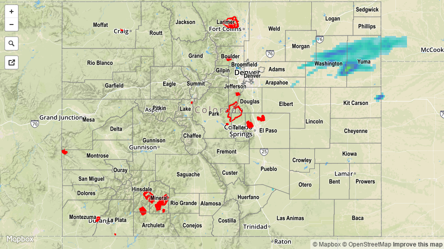
Most places were blessed with abundant sunshine yesterday, owing to the continued transport of drier air aloft into Colorado. Not everything was sunny, however, as a jet streak moving overhead plus the presence of a weak frontal boundary kicked off a few thunderstorms during the afternoon and evening, with a few continuing into the overnight hours across northeastern Colorado. One severe storm observation was reported to the National Weather Service: 3 miles NW of Elba (Washington County), 1 inch hail fell and caused some minor tree damage.
Rainfall winners, according to CoCoRaHS (reports as of 7:00 AM MDT):
Adams County: 0.29 inches
Yuma County: 0.25 inches
Larimer County: 0.10 inches
It is important to keep in mind that observations are fairly sparse out on the plains, and higher rain totals may be missed due to gaps in coverage. For a more complete picture of 24-hour precipitation, please see the STP map below.
No flash flooding occurred yesterday.